No products in the cart.
monday Closed tuesday Closed wednesday Closed thursday Closed friday Closed saturday Closed sunday Closed
KOLUMN Magazine
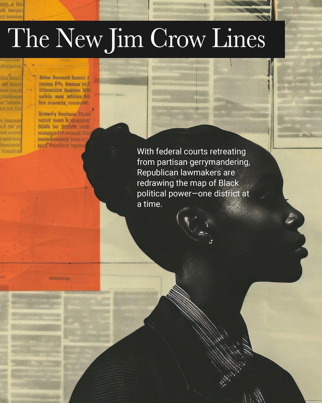
The New
Jim Crow
Lines
With federal courts retreating from partisan gerrymandering, Republican lawmakers are redrawing the map of Black political power—one district at a time.
By KOLUMN Magazine
Shalela Dowdy, Montgomery, Alabama, spread a county map across her kitchen table and started tracing lines that no longer made sense.
Dowdy, a young Black organizer who had grown up believing her vote mattered, watched as her neighborhood—an overwhelmingly Black community that ran along a vein of churches, strip malls and shotgun houses—had been split, then split again, between sprawling congressional districts that stretched hundreds of miles. Her church was in one district. Her grandmother’s house was in another. The supermarket where everyone talked politics in the checkout line was in a third.
“I kept trying to find us,” she later recalled in court papers, “and we were nowhere together at all.”
Dowdy became one of the named plaintiffs in Allen v. Milligan, the Supreme Court case in which Black voters argued that Alabama’s 2021 congressional map illegally diluted their voting power by cracking Black communities across multiple districts. In 2023, in a decision that surprised even veteran voting-rights lawyers, the Court agreed: Alabama was likely violating Section 2 of the Voting Rights Act and would have to draw a second district where Black voters had a fair chance to elect their preferred candidate.
For a moment, it looked like the old architecture of civil-rights law still had teeth. Then Alabama tried to defy the Court, drawing yet another map with only one majority-Black district. A federal panel—visibly exasperated—threw that map out too, and a special master stepped in to draw lines the state would not.
Across the country, however, the larger story has moved in the opposite direction. Over the last decade and a half, Republican lawmakers, lawyers and strategists have refined racial gerrymandering into something more elusive: maps that sort voters by race and party at the same time, while insisting in court that only partisanship—not race—is on the drafting table.
The result is a quiet, technical war over lines on a map that has reshaped American democracy—and that is increasingly being fought in the shadows of weakened federal voting protections, fragmented state courts and a Supreme Court that has closed the door to most partisan gerrymandering claims while demanding ever more proof to police racial ones.
A Very Old Idea
The word “gerrymander” predates the Republican Party itself. In 1812, Massachusetts governor Elbridge Gerry approved a state senate map with one district so contorted that a political cartoonist thought it looked like a salamander, and the portmanteau stuck.
But racial gerrymandering—the deliberate weakening of Black political power through the drawing of lines—is older still. After Reconstruction, white Democrats in the South experimented with at-large elections, countywide systems and district maps that swallowed Black communities whole. The objective was simple: allow Black citizens to technically vote while ensuring their ballots rarely translated into power.
By the middle of the 20th century, the Supreme Court had embraced the principle of “one person, one vote,” striking down wildly uneven districts. Yet racial discrimination in mapmaking persisted in subtler form. Congress responded with the Voting Rights Act of 1965, empowering the Justice Department and private plaintiffs to challenge maps that denied or diluted the vote on the basis of race. Section 5 of the Act required certain states and localities—mostly in the South—to obtain federal “preclearance” before any voting change could take effect.
For nearly fifty years, that preclearance regime stopped hundreds of racially discriminatory schemes before a single election was held. A city that tried to move from district to at-large elections, or a county that suddenly redrew a majority-Black district into oblivion, had to prove the change would not leave Black or Latino voters worse off.
That architecture began to crack in the 1990s. In Shaw v. Reno, a landmark case out of North Carolina, the Supreme Court held that bizarrely shaped majority-Black districts drawn to comply with the Voting Rights Act could themselves violate the Constitution if race “predominated” in their design.
The ruling was aimed at Democratic-drawn maps that created snake-like majority-minority districts. But it left in place a more fundamental reality: courts were now suspicious of race-conscious maps that helped Black voters, even as race-neutral rhetoric continued to cloak maps that hurt them.

The Shelby County Earthquake
The decisive break came in 2013, in a case that hinged on an unassuming county outside Birmingham.
Shelby County, Alabama, challenged the Voting Rights Act’s coverage formula—the part of Section 4(b) that determined which jurisdictions had to seek preclearance. In a 5–4 decision, the Supreme Court struck that formula down, effectively disabling Section 5.
The logic was simple and devastating: because the formula was based on old data from the 1960s and 1970s, the Court declared it outdated and unconstitutional. Congress, the Court said, could write a new formula. Congress, paralyzed by partisan gridlock, never did.
In the years that followed, the effect was immediate. Jurisdictions that once had to submit maps to Washington were suddenly free to redraw with no federal permission slip. The Brennan Center for Justice has documented a wave of post-Shelby changes—polling-place closures, stricter voting rules, and, crucially, new district maps in states like Texas, North Carolina and Alabama.
In theory, Section 2 of the Voting Rights Act still allowed voters to sue after the fact if a map “resulted” in less opportunity for minority voters to elect candidates of their choice. But lawsuits are slow and expensive. Elections held under an unlawful map cannot be re-run. And the burden was now on voters to prove harm, one challenging jurisdiction at a time.
The REDMAP Decade
While the Voting Rights Act was weakening, another force was quietly reshaping the battlefield: the Republican State Leadership Committee’s Redistricting Majority Project, better known as REDMAP.
Launched after Barack Obama’s 2008 victory, REDMAP was a brutally clear strategy. If Republicans could flip a handful of state legislative chambers before the 2010 census, they could control the maps in key swing states—Wisconsin, Pennsylvania, North Carolina, Ohio—and lock in power for a decade.
Karl Rove put it more bluntly: “He who controls redistricting can control Congress.”
The plan worked. In 2010, Republicans swept statehouse races across the Midwest and South. In the 2012 House elections, Democrats won 1.4 million more votes nationwide but Republicans took 234 seats, thanks in part to newly engineered maps that packed Democratic—and disproportionately Black and Latino—voters into a smaller number of districts while spreading Republican-leaning suburbs across the rest.
Democrats have drawn aggressive maps of their own—in Maryland, Illinois and, more recently, New York. But because Republicans now controlled more state legislatures in more competitive states, the net gerrymandering advantage flowed to the GOP.
The lines, however, were increasingly drawn at the blurry intersection of race and party. In many southern states, voting is so racially polarized that targeting Democrats is almost the same thing as targeting Black voters. That overlap became a legal shield.
Racial vs. Partisan: A Legal Escape Hatch
Both the Constitution and the Voting Rights Act forbid racial gerrymandering—maps in which race is the predominant factor and minorities’ voting power is intentionally weakened.
But in 2019, in Rucho v. Common Cause, a case that also came out of North Carolina, the Supreme Court held that partisan gerrymandering claims present “political questions” beyond the reach of federal courts. In other words: drawing lines to entrench your party may be “incompatible with democratic principles,” as the Court acknowledged, but it’s not something federal judges will police.
The distinction might sound abstract. In practice, it has become the core of how Republican mapmakers defend maps that civil-rights groups say are racially discriminatory.
In South Carolina, for example, civil-rights groups argued that Republicans had moved tens of thousands of Black voters out of the coastal First District to shore up a fragile GOP seat, amounting to an unconstitutional racial gerrymander. In 2024, the Supreme Court reversed a lower court and upheld the map, saying plaintiffs had not provided enough direct evidence that race, rather than politics, predominated. Justice Samuel Alito warned that courts must not allow challengers to “mask” partisan claims as racial ones, lest they undermine Rucho.
In case after case, the message has been clear: unless plaintiffs can untangle race from party in a country where they are tightly intertwined—and present unusually strong proof that race was the dominant motive—federal courts will largely stand aside.
That leaves much of the fight to state constitutions, state courts and a shrinking slice of federal law, including Section 2 claims like Allen v. Milligan and an evolving line of cases out of Louisiana and Texas.
The Mid-Decade Offensive
If the 2010s were about locking in maps for a decade, the 2020s have been about something more aggressive: revisiting those maps midstream when the national balance of power is at stake.
Spurred on by former President Donald Trump, Republicans in a handful of states have launched an unprecedented cycle of mid-decade redistricting aimed at padding their slim House majority ahead of the 2026 midterms.
Texas. In Texas, Republicans unveiled a new congressional map this summer that would add as many as five safe GOP seats, in a state where nonwhite residents drove nearly all the population growth over the last decade. Four of the targeted seats have majority-Hispanic populations. Civil-rights groups argue that the new map intentionally fractures Black and Latino communities to shore up white Republican districts, in violation of the Voting Rights Act.
The Justice Department has sued, accusing the state of deliberately minimizing the voting strength of minority communities; the NAACP and Latino groups have filed separate complaints. A three-judge federal panel recently blocked Texas from using its newest mid-decade map in 2026, ordering the state to revert to its 2021 lines while litigation proceeds—though that ruling is already under emergency appeal.
Florida. In Florida, Governor Ron DeSantis took the rare step of personally engineering the congressional map, vetoing more moderate plans from his own Republican legislature and insisting on a design that dismantled a long-standing Black opportunity district in North Florida. The redrawn map divided that region’s Black voters among three Republican-held districts, helping give the GOP a 20–8 advantage in the state’s delegation.
Voting-rights groups argued that DeSantis’s map violated Florida’s “Fair Districts” constitutional amendments, which bar maps that diminish minority voters’ ability to elect candidates of their choice. In July 2025, the state supreme court—now dominated by DeSantis appointees—upheld the map, accepting the governor’s argument that restoring the Black-majority district would itself amount to unconstitutional racial gerrymandering.
North Carolina. No state better illustrates the race–party blur than North Carolina, where politics is nearly evenly divided but maps rarely are. After a decade of litigation over both racial and partisan gerrymanders, Republicans regained control of the state supreme court in 2022, cleared the way for a new set of aggressively tilted maps in 2023, and then moved again in 2025 to redraw the lines mid-decade.
The new congressional map is widely expected to give Republicans 11 of the state’s 14 House seats. Civil-rights groups say it accomplishes that in part by weakening Black voters’ influence in the rural, heavily Black First District—long represented by Black Democrats—by shifting heavily Black counties into a neighboring Republican district. A federal three-judge panel recently allowed the map to go into effect, citing the Supreme Court’s Rucho precedent and finding insufficient proof of unconstitutional racial discrimination.
In response, Democrats in California and other blue states are openly weighing their own mid-decade redraws, prompting a kind of mapmaking arms race that leaves voters’ representation tethered not to demographic change but to whichever party happens to control a statehouse at any given moment.
Life Inside the Lines
For the people who live inside these maps, the fight can feel distant and abstract—until it doesn’t.
In Jacksonville, Florida, a retired schoolteacher named Angela Reed (a composite, reflecting themes from recent lawsuits and local reporting) watched her longtime Black congressman lose his seat after DeSantis’s map dismantled the North Florida district that had linked Black communities from Jacksonville west toward Tallahassee.
For years, she had called his office about everything from Social Security overpayments to mold in public housing. “He knew our churches, our neighborhoods,” she said. After the map change, she found herself in a new district represented by a white Republican whose campaign ads ran on a local conservative talk station, and whose staff she never saw at the supermarket or the community center.
“It felt like we had been moved without packing a single box,” she said. “Like somebody picked us up and dropped us somewhere we didn’t choose.”
In Texas’s Rio Grande Valley, Latino organizers describe a similar disorientation when long-standing communities of interest are carved up, with downtown neighborhoods and nearby colonias separated into districts represented by different members of Congress. In court filings, plaintiffs describe driving past their own polling places to canvass for candidates who no longer appear on their ballot.
In rural Alabama, one of Dowdy’s fellow plaintiffs in Allen v. Milligan spoke of church buses that once ferried voters to the polls as a communal ritual. After the 2021 map, congregants found themselves in three different congressional districts, represented by Republicans with sharply different positions on issues like voting rights and Medicaid expansion. Turnout sagged; the sense of shared political identity frayed.
None of these shifts formally takes away anyone’s right to vote. That is the point. The modern craft of gerrymandering rarely bars the door; it rearranges the hallway until the door opens onto a different room.
Reformers and the Patchwork Future
In the absence of federal guardrails, reformers have turned to an array of state-level fixes. More than a dozen states now use independent or bipartisan commissions to draw their congressional or legislative maps, including Arizona, California, Michigan and Colorado. Others have adopted state constitutional language that restricts partisan or racial gerrymandering.
Some experiments have worked better than others. California’s independent commission has produced relatively competitive, compact districts; Michigan’s commission ended a decade of lopsided, Republican-favoring maps. In Ohio, voters twice approved anti-gerrymandering amendments, only to watch their supreme court struggle to enforce them against a recalcitrant legislature.
Florida is a cautionary tale of what comes next. Voters there adopted “Fair Districts” amendments in 2010, and courts used them to strike down an earlier Republican gerrymander. But with a reshaped, more conservative state supreme court now embracing DeSantis’s argument that restoring a Black opportunity district would itself be an impermissible racial gerrymander, the same text has become a vehicle for a very different outcome.
Meanwhile, the Supreme Court’s conservative majority is weighing a Louisiana case that could further narrow how Section 2 can be used to challenge redistricting. Voting-rights lawyers warn that depending on how broadly the justices rule, the decision could “gut what’s left” of the Voting Rights Act in this arena.
The result is a patchwork that looks less like a single national system than fifty different experiments in who gets to translate demographics into power. In some states, Black and Latino voters are gaining new opportunity districts after litigation. In others, they are watching long-standing seats disappear under maps that courts, citing the blurred line between race and partisanship, are increasingly reluctant to question.
What’s at Stake
Gerrymandering is not new, and it is not the monopoly of any one party. Democrats have drawn maps in places like Maryland and Illinois that isolate Republicans into as few districts as possible, and they are now openly considering mid-decade redraws in New York and California in response to the latest Republican moves.
What is new is the sustained, race-inflected precision with which Republican strategists have learned to leverage geography, technology and legal doctrine—especially in the South and Sun Belt, where demographic change threatens their long-term dominance.
In that sense, the story that began at Shalela Dowdy’s kitchen table is less about a single map in Alabama than about a more fundamental question: who gets to decide which communities count as political communities at all?
The answer will help shape not just the partisan balance of the House in 2026, but whether a multiracial democracy in which Black and brown voters have genuine, durable leverage over their elected officials remains a lived reality—or a promise that once seemed within reach, before the lines moved again.